Thistledown ValeIndependent Cornwall field guide
Coast path field notes

Three sections, three different days out.

Cornwall's coast path is genuinely strenuous walking, not a coastal stroll: expect frequent short, steep climbs and descents rather than sustained ascent, uneven granite and slate underfoot, and weather that can turn in the time it takes to reach the next headland. Bus and rail services along this stretch are seasonal and can be sparse outside summer, so transport needs planning before you leave, not after. Treat every distance, time and access note on this page as a starting estimate, and check the official South West Coast Path Association service for current conditions, diversions and closures before any walk.

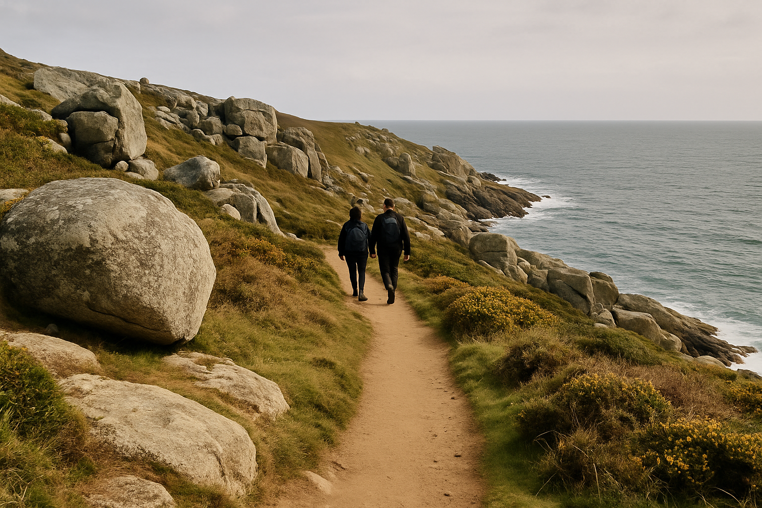
Granite coast path with the sea below between St Ives and Zennor
The path climbing away from St Ives toward Zennor Head

St Ives to Zennor

Distance
Approx. 6–7.5 miles (9.7–12km)
Effort
Strenuous — frequent short climbs
Time
3.5–5.5 hours

Rocky, boulder-strewn terrain past Clodgy Point and Zennor Head, with the path rising and falling constantly rather than settling into one long climb. There is no realistic mid-route bail-out, so this is a full-commitment half-day once you leave St Ives.

Open this field sheet
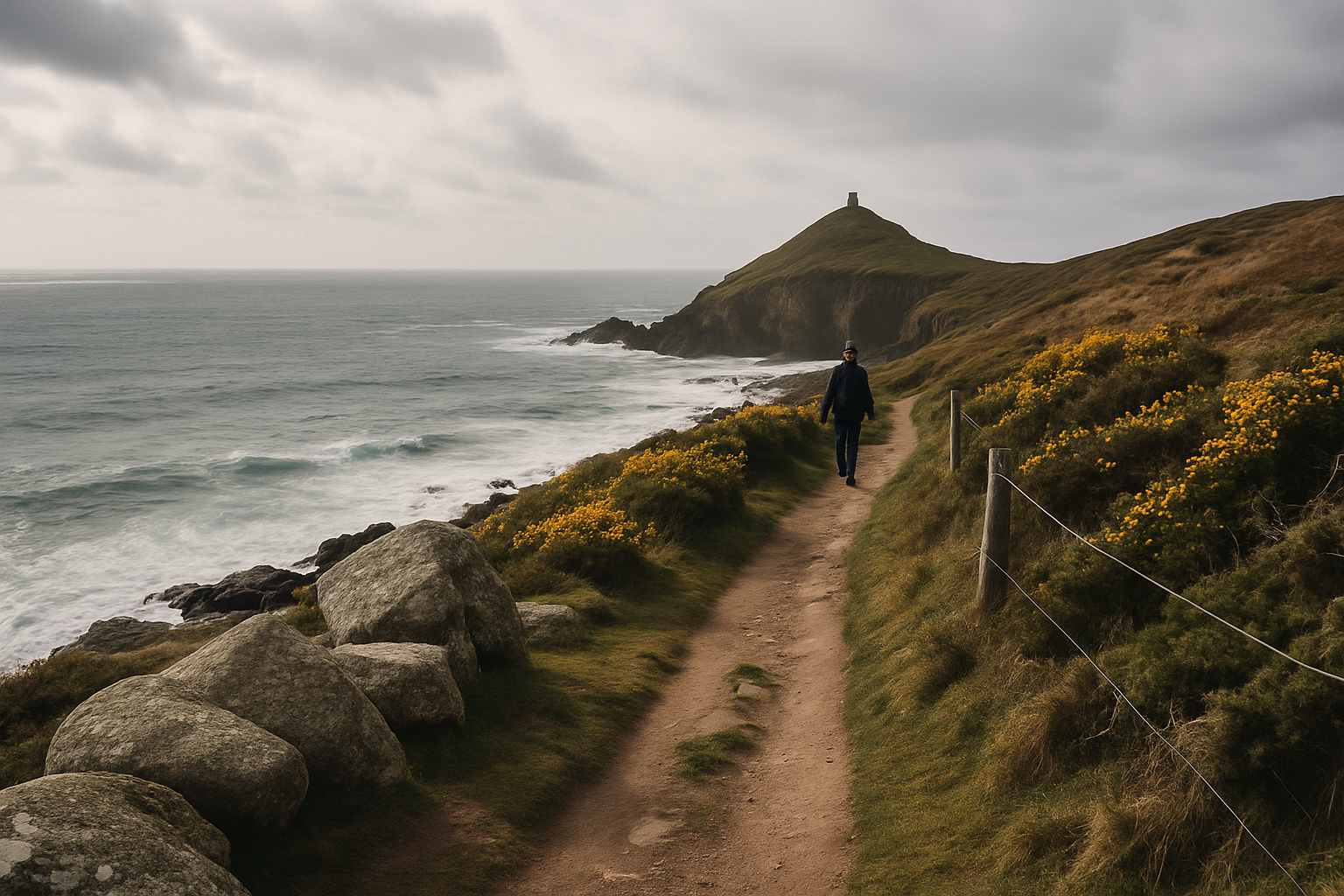
Isolated, exposed coast path in far west Cornwall near Cape Cornwall
The remote path near Cape Cornwall, between Zennor and Sennen

Zennor to Sennen

Distance
Approx. 18 miles (29km)
Effort
Very strenuous — full day or split
Time
8–11 hours, or two days

The longest and most remote section in this guide, running past Pendeen and Cape Cornwall to St Just's old mining ground before reaching Sennen. Most walkers split it, since public transport links along the way are thin and irregular.

Open this field sheet
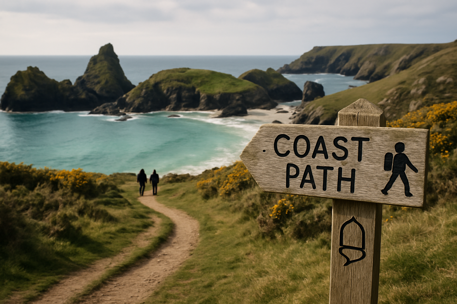
Signed coast path on the Lizard peninsula above Kynance Cove
The signed cliff path above Kynance Cove

Lizard to Kynance

Distance
Approx. 4–4.5 miles (6.4–7.2km)
Effort
Moderate — short but steep in places
Time
2–3 hours

The shortest section here, looping from Britain's most southerly point across rare heathland to the serpentine stacks of Kynance Cove. Short does not mean easy or quiet — this is the most visited stretch in the guide, and beach access depends on the tide.

Open this field sheet

What every section note includes

Each field sheet in this guide states a walking direction, a distance and ascent figure checked against official sources, the underfoot surfaces you'll actually meet, and any realistic escape points if you need to cut a walk short. It also covers the practical logistics that decide whether a day goes well: nearest public transport, where to find water and toilets before the route runs out of both, and how the season affects daylight, crowding and service frequency.

Before you go: Cornwall's coast path runs along active cliff edges — keep well back, keep dogs on a lead near livestock and drops, check the forecast, and wear proper walking footwear. Confirm there are no current diversions or closures with the South West Coast Path Association.
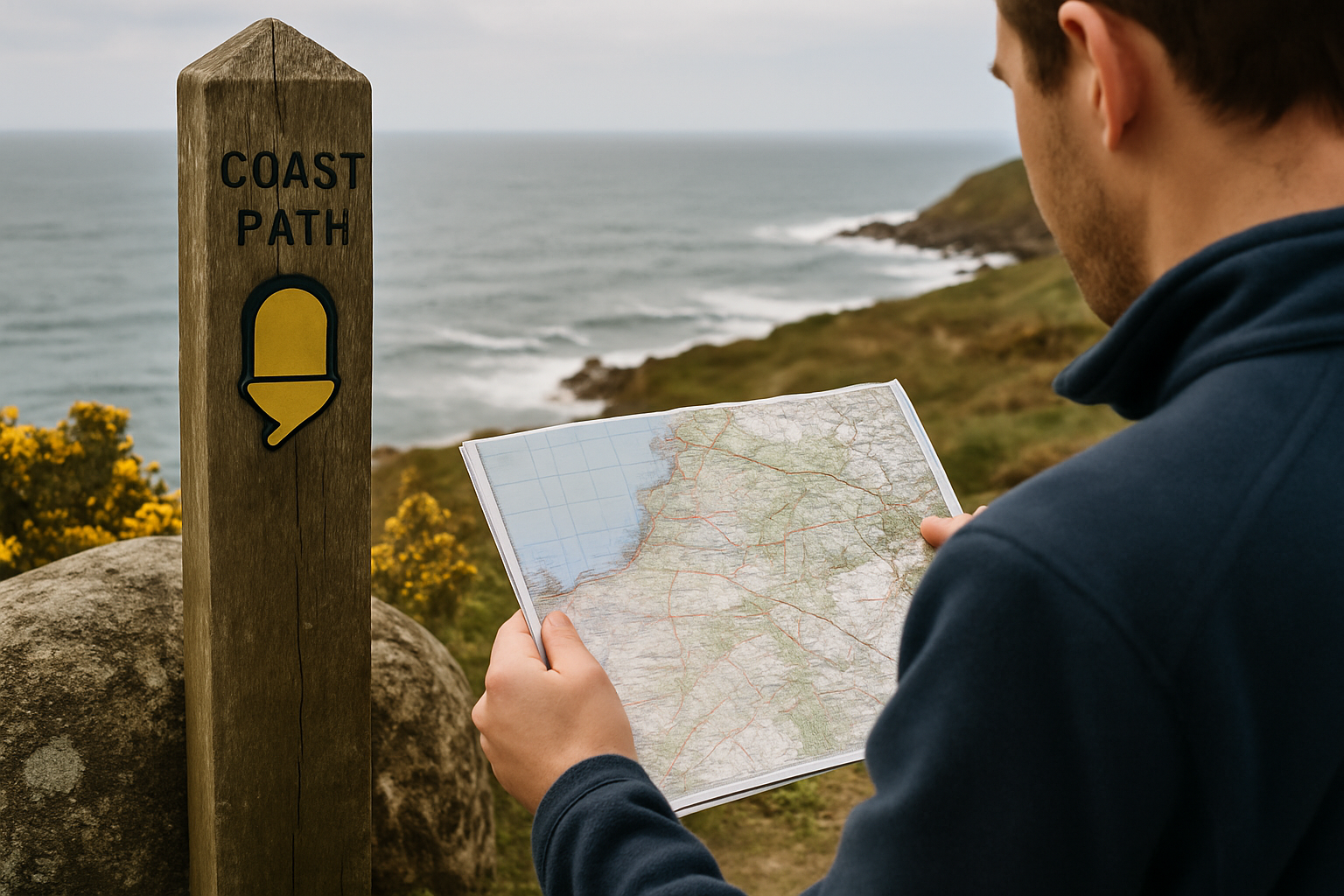
An official coast path waymark post beside a paper OS map held by a walker
Checking the official waymark against a paper map