St Ives to Zennor
This section runs west out of St Ives along one of the most physically demanding stretches of coast path for its length in Cornwall — a rocky, up-and-down route above the Atlantic, past Clodgy Point toward Zennor Head. Walkers usually take it west to east or east to west as a there-and-back or one-way day walk with a bus or taxi return, choosing it for the concentrated scenery rather than an easy afternoon.
At a glance
- Distance
- Approx. 6–7.5 miles (9.7–12km)
- Ascent
- Substantial — many short, steep climbs rather than one long gradient
- Time
- 3.5–5.5 hours
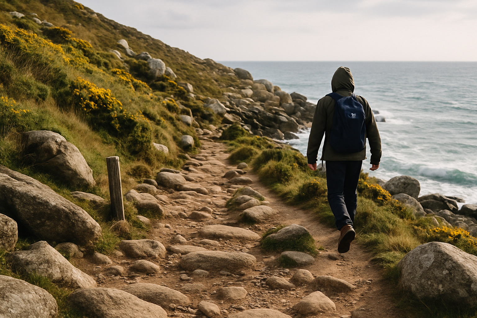
The path underfoot is mostly rock and exposed granite rather than smooth track, with sections that require careful footing and occasional light scrambling around headlands. Expect the effort to come from repetition — climbing to a headland, dropping to a cove, climbing again — rather than from one sustained ascent. There is very little tree cover, so the route is fully exposed to wind and weather, and daylight hours shrink fast outside the summer months, so start with enough margin to finish before dusk.
How the day unfolds
The walk breaks naturally into three stages: the climb away from St Ives, an exposed middle section along the headlands, and the descent into Zennor. Treat the outline below as general orientation rather than a turn-by-turn instruction — always follow the official waymarking on the ground.
- St Ives departureThe route leaves St Ives from the western end of the town, near Porthmeor Beach, where the last cafés, toilets and shops before Zennor are found. The path climbs steadily above Clodgy Point, the town falling away quickly behind you.
- Headland middleThe central stretch is the most physically demanding: a repeated pattern of descents into small coves and climbs back onto open headland, with Gurnard's Head and its Iron Age cliff-castle remains as a natural halfway landmark and viewpoint.
- Zennor arrivalThe path drops inland slightly to reach Zennor, a small village built around St Senara's Church — home to the famous 600-year-old Mermaid Chair — and the Tinners Arms pub, the main practical stop before onward transport.
Transport and practicalities
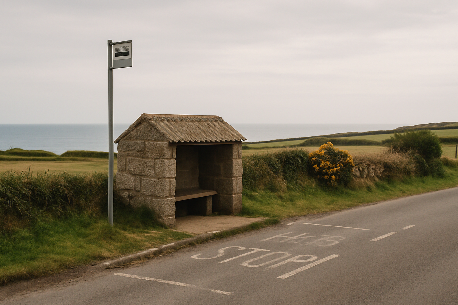
A limited seasonal bus service links Zennor to St Ives and Penzance, but frequency drops sharply outside the summer timetable, so confirm current times before relying on it for a return journey. Roadside parking near Zennor is limited and informal; do not block passing places or field access. St Ives has full services, but once you're on the path there is nowhere reliable to buy food or water until Zennor itself, so carry what you need. Mobile signal is patchy across the headland sections. There is no realistic mid-route bail-out once past Clodgy Point, so treat this as a full commitment once you're underway.
Compare all sections